
I have been fascinated by maps since discovering a 1″ to the mile map of The Lakes in my pre-teen years. Unlike pictures and words, reading a map I could immediately understand the landscape – where the rivers flow, how hard it would be to climb to a peak, and how communities lived in the landscape. As a long-distance walker and cyclist, maps have revealed a world of adventure and stimulated my curiosity. Nothing gave me greater pleasure than to take that road to the coastline to see an un-named beach, and perhaps spend a night under the stars at an undiscovered corner of the UK. Now I am building maps. Starting with an immersive digital map of the KCIIIECP.
To access the map please click one of these links:
King Charles III England Coast Path Map
King Charles III England Coast Path Map – MOBILE version for use on the trail
Many outdoor books, websites and publications do not use maps as much as I think they should. My plan is to develop a comprehensive digital map and to tell stories about my journeys using maps to guide the words, pictures and perhaps video. This is going to take some time, but I can make a start recalling the King Charles III England Coast Path I walked between 2021 and 2024, some 2,300 miles of England’s coastline, rich in heritage, nature, art and community. What I want to show in these maps, is the relationship between the natural world and society, specifically with the challenges of climate change. If you spend much of your time outdoors, you will see how we are changing our world. Walking a National Trail connects you to nature in a direct and meaningful way, through the hardships and effort of continuous walking, the glorious landscape, and the diversity of weather and seasons. This map will follow the narrative of my forthcoming book – The Coast is Our Compass.
I would like to develop the map for all 20 National Trails in England, Scotland and Wales – designated long distance trails I have walked and described in my first book – Tales from the Big Trails. I have just finished my second book about walking this path and hope to publish in 2026. This map will accompany both books in future (when I have time to work on it).
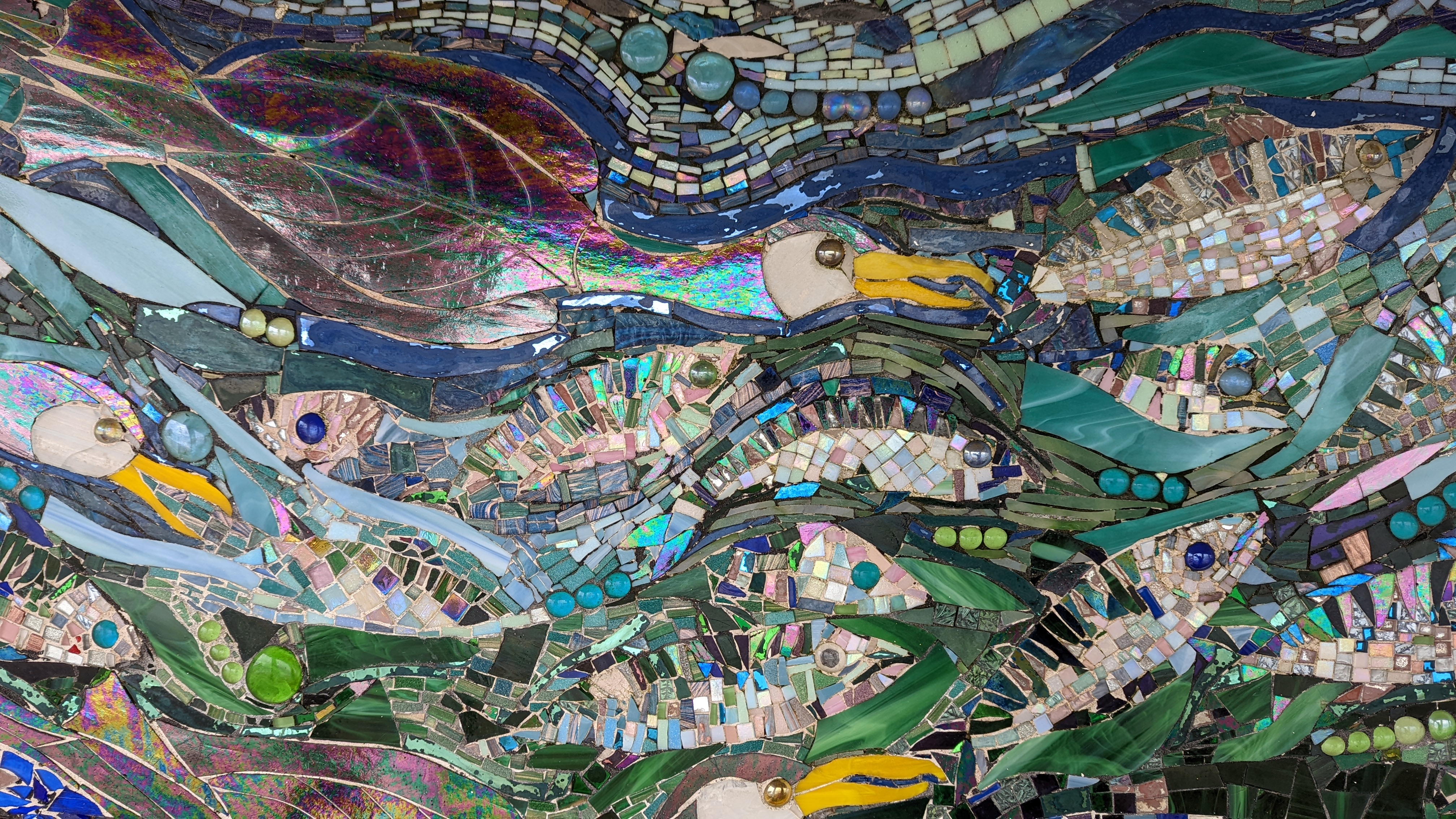
My design objectives require a simple, easy to use map, that will draw you in to as much detail as you would wish to see – a high-level overview to inpsire and help you plan your own journey. I do not give intineries, but aim to provide a resource that will help you plan your journey, recognising that everyone will have their own preferences, and besides, I have no desire to compete with the excellent resources available online. My second major objective is to corelate geography, trails, art, nature, science, technology, and philosophy. Art is a huge inspiration for a walker, and the public installations I encountered stayed with me for weeks, if not months afterwards, asking me to interpret the landscape and nature and my place in it.
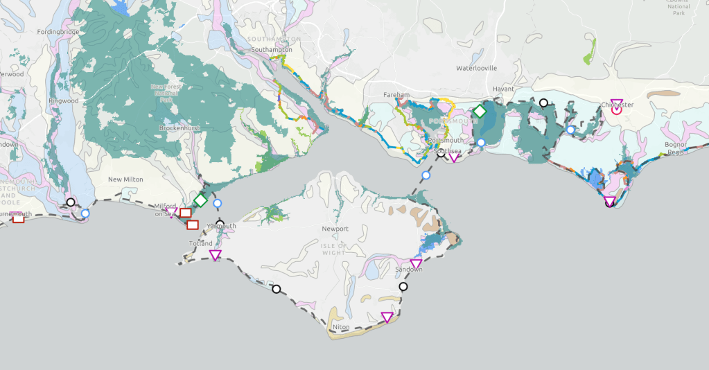
To summarise the layers in the map and the symbology I use:
Art, Nature, and Technology – public art installations, nature reserves and wildlife locations, and technology (nuclear installations for the moment). These appear according to the map in the list to the lower right. If you click on a picture it will zoom to its location. Clicking on the top right image will link you to the artist, nature organisation (e.g. WWT), or the Office of Nuclear Regulation (ONR). These Points of Interest (POIs), will develop for all the National Trails and will feature new categories in later releases.
Sections, Oneday, River – this layer lists the 18 sections (or chapters of my books), with links to OS Maps for the Sections if you click on the map image. Oneday are the start/stop points and overnight accommodation I used on the walks (approximately 20 miles per day), and feature a philosophical quote for the day – sayings that resonate with a walker. The River POIs refer to ferries (I like ferries), or points where wading is an option if conditions allow and you don’t mind getting your feet wet. The actual path I walked (approximately as it is hand drawn, not actual GPS data) is shown as a dotted line. It differs from the official route, with as they opened later, or I made a choice to for another route due to safety, tide, or conditions.

News – this layer contains links to news articles related to the path. Clicking on the image in the top right (when it is selected), will open a new window to the news article from the original source (usually BBC News).
These layer interact with a number of publically available layers, in this case, many authorative layers published by DEFRA (a government Department of Environment, Food and Rural Affairs) and feature nature reserves, the National Trails overseen by Natural England (who also take care of Wales), organisations such as the RSPB, RAMSAR and others in the future. Lastly the British Geological Survey (BGS) publishes a 1:625k scale geological map, which is very revealing in it relationship to the trails and coastal erosion. This layered map is built with ESRI’s ArcGIS Online and I am grateful for the support they have given me to work with this technology.

I would welcome input and comments for the map design. I hope to collaborate with others in the future and build multiple maps to highlight specific stories, with a master map available which brings together all of the geospatial data I have managed to curate or acquire. I can be contacted through this website using this Contact link.
