
After walking from Dundee to Cullen a few weeks ago, I was itching to get back and enjoy the Moray Coast Trail to Forres – 46 miles (75km) from Aberdeenshire into the Highlands. The plan was to walk to Inverness and start the John o’Groats Trail north, with no fixed schedule, wild camping, hostels and the occasional bit of luxury in a B&B. Adding up all the miles from Berwick, this would be a coastal journey of approximately 630-miles, an alternative South West Coast Path, but tougher, wilder, more remote, yet exhilarating. This is not a route for the inexperienced.

After a restless night on the Calendonia Sleeper seat, a connection to Keith, and a bus to Cullen, I was a bit jaded, but determined to reach Buckie and get those legs working. I am now shod with a new pair of Meindl Bhutans, which at £300 will have to deliver on the later tough sections. For now the path east from Cullen is signposted with delightful Fulmar seabird symbols, and the local community ‘Friends of Cullen’ have provided a water point to fill up my flask, before I explore the shoreline, scambling around a headland at high tide to join a good path to Portknockie. The harbour is a model layout for almost every coastal village east, sheltered from the worst weather, that the inhabitants would have experienced a week earlier, when Storm Amy ravaged this area.

The walking is easy, and I do not have to think about navigation as I pass through Findochty to Buckie, where a run down hotel provides a simple bed with a sea view for the night. I start to recognise the Speyside Way I walked some years ago the following morning, walking along an old railway line towards Spey Bay, taking a diversion along the shoreline to avoid the Links woodland blocked by fallen trees, yet to be cleared. I am hoping for a cuppa, but the nature reserve cafe is closed. I find a cafe in Garmouth after crossing the old rail bridge and adopt a relaxing pace along the path behing the shingle bank towards Lossiemouth, occasionally climbing the bank to scan the sea for dolphins and seabirds. I arrive with enough time for an afternoon nap. I am easing my way into the early miles, for I have another 200 miles or so to do, and they will not be as easy going as this.

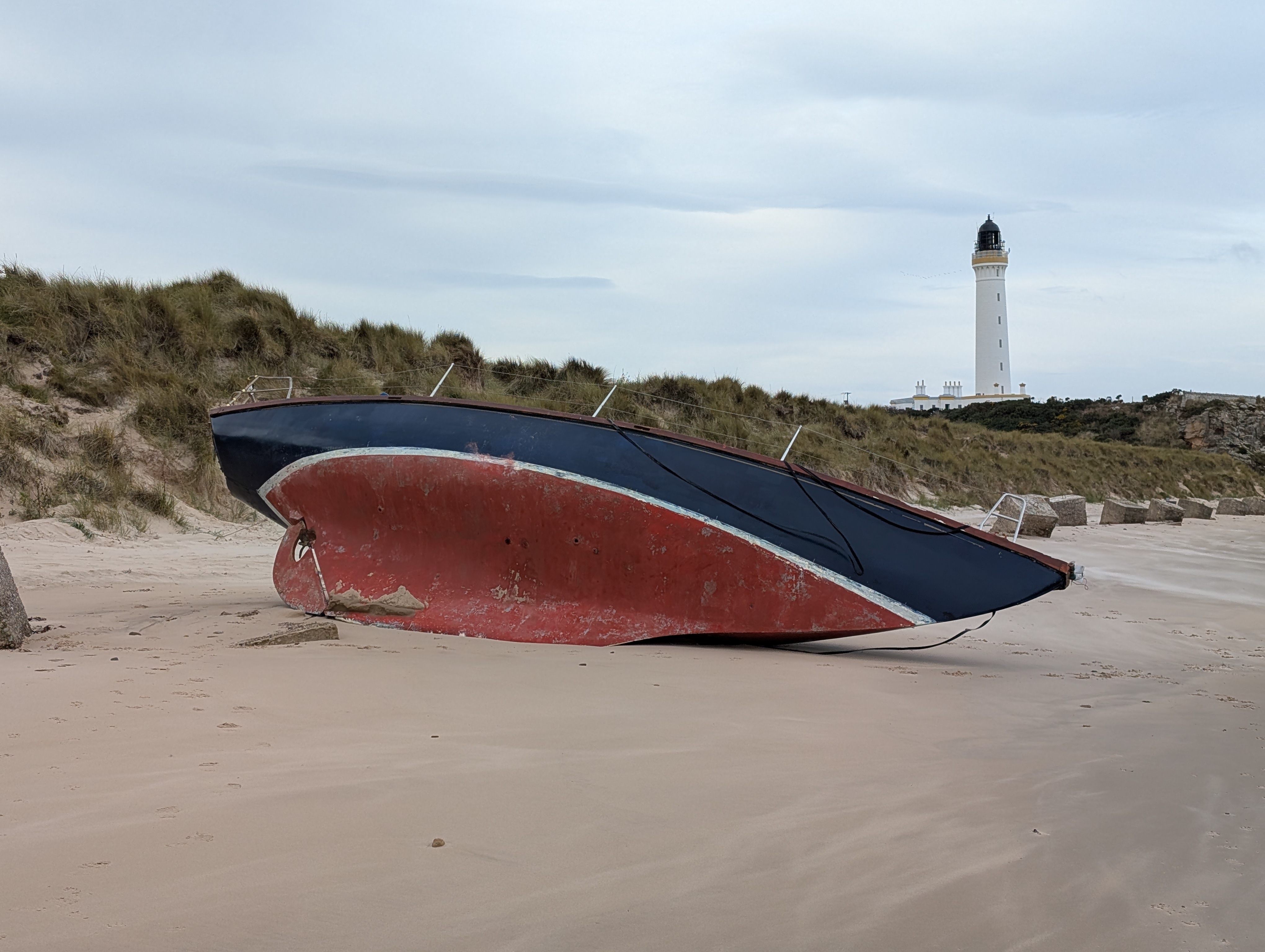
Or so I thought, for a strong westerly plagues my progress in the morning. I lean in, using my tattered poles to bring triceps into the walking equation. An empty yatch lies beneath the lighthouse, a victim of an earlier storm. I can rest in the lee of the cliff for a moment before climbing to the cliff side path through gorse hedges, which bring some relief to Hopeman, a lovely secret beach resort, and then Burghead marked by a monstorous malt factory (feeding the whisky stills of the area). I stop for lunch and then enter a wind free zone of Roseisle Forest, with endless cone and needle paths through tall firs.


The scene doesn’t change for several miles, requiring a quick GPS to check to make sure I am on the right forest track. Eventually it follows the shoreline, but the path has fallen into the sea along several sections, not that this deters a number of mountain bikers. It is easy walking until the dunes of Findhorn, with indistinct paths into the village, a route I have to take as the spring high tide has covered an easier route, that I recall from earlier visits to this lovely seaside village, home to the Findhorn Foundation – an organisation that strives to uncover life’s true purpose in nature.
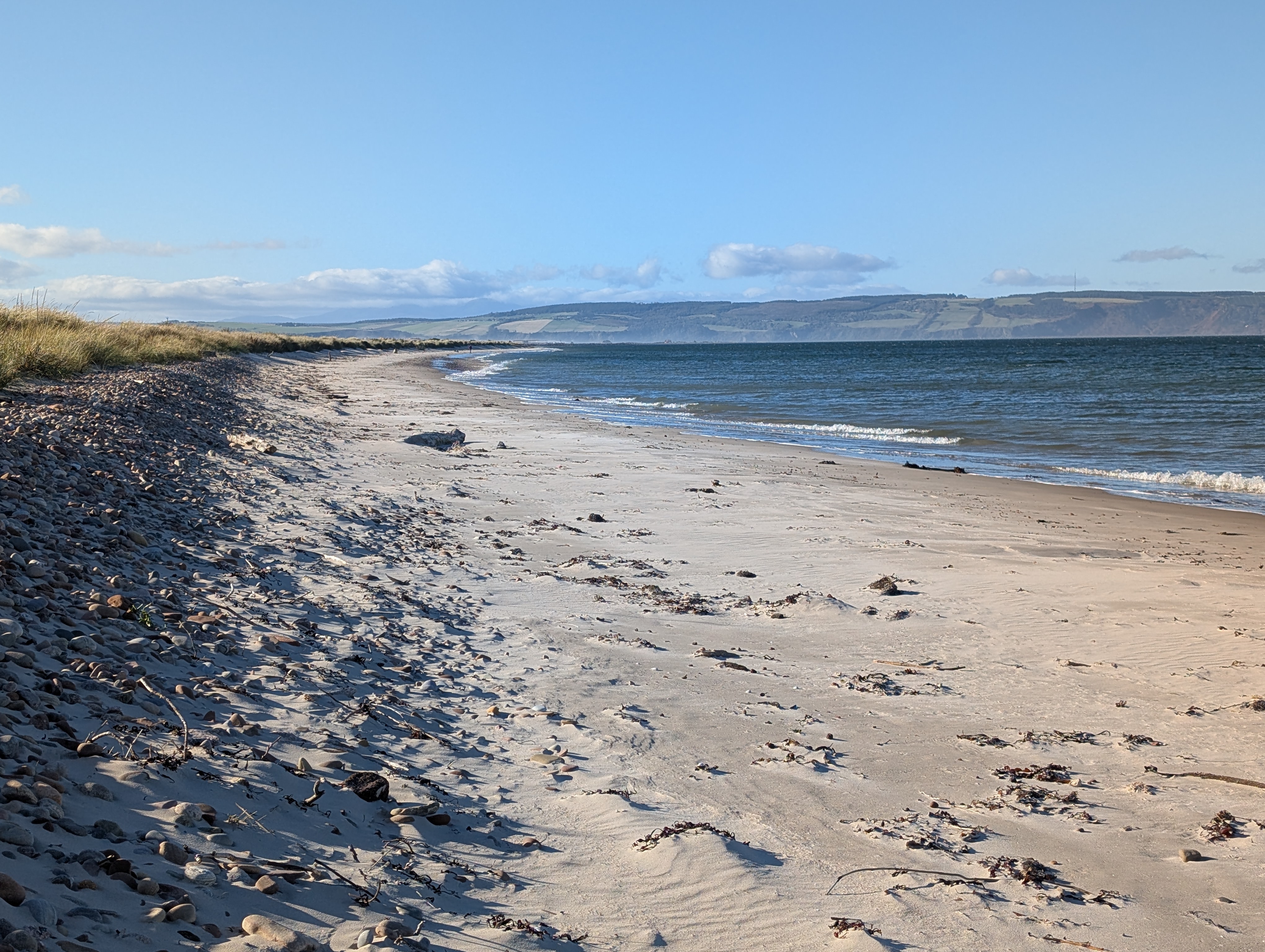
I fill up with water and march to Forres along roads that will feature in the coming days. Ideal terrain to wear out expensive boots. I follow the National Cycle Route 1 into Culbin Forest and navigate track by track in a westerly direction to Nairn. Thousands of Fly Agaric mushrooms have bloomed on the forest floor, creating a pixie wonderworld, shrouded in a an oxygen enriched atmosphere provided by the extensive array of trees. It is easy to lose yourself in thought and I welcome the emerging shoreline and drop down to the salt marsh paths until East Beach – its blinding white wind blown dune sands in contrast to the green tranquilty of the morning. Nairn (aka Brighton of the North), is a delight and a superb fish tacos cafe is great way to rest before I head further west in search of a wildcamp pitch.


I fall asleep in the dunes on ‘Secret Beach’ and wake to ponder a swim. I pitch on a perfect spot (unfortunately later the source of a few ticks), and wait for dusk. Just as the sun sets, thousands upon thousands of pink-footed geese fly inland in never ending chevrons of the most exquist chattering cackle. They have arrived, and will be a feature for a few days at dawn and dusk. My Garmin watch confirms the deepest high quality sleep, as my breath syncornises with the gentle lapping waves. The sky is clear, but no aurora tonight, but the stars and milky way shine bright above when I pop out of the tent at some early hour to pee.
The section now into Inverness will be problematic. I march down quiet roads, past the new fabrication port, towards Fort George. The woods are full of red squirels and the trees contain buzzard nests. The Fort is reached easily enough, and Ardersier has Wendy’s cafe, for a full Scottish breakfast. I study the map and consider options. The beach is muddy and impassable, especially with an incoming tide, so I start along the B9039 expecting it to be quiet, but it is dangerous. Fast cars, lorries and blind bends and a 50mph limit exceeded by most. I am not going to enjure this, and safety first rule has me looking for a bus, which is 10-mins away. The view out of the window confirms a wise decision, as it makes its way to Falcon Square in Inverness, where It is an easy walk to the hostel. I explore the art gallery and museum to see the work of Ken Currie, who I later meet by coincidence at Brown’s Gallery, together with a collection of artists who as interested in my journey as I am in their art.

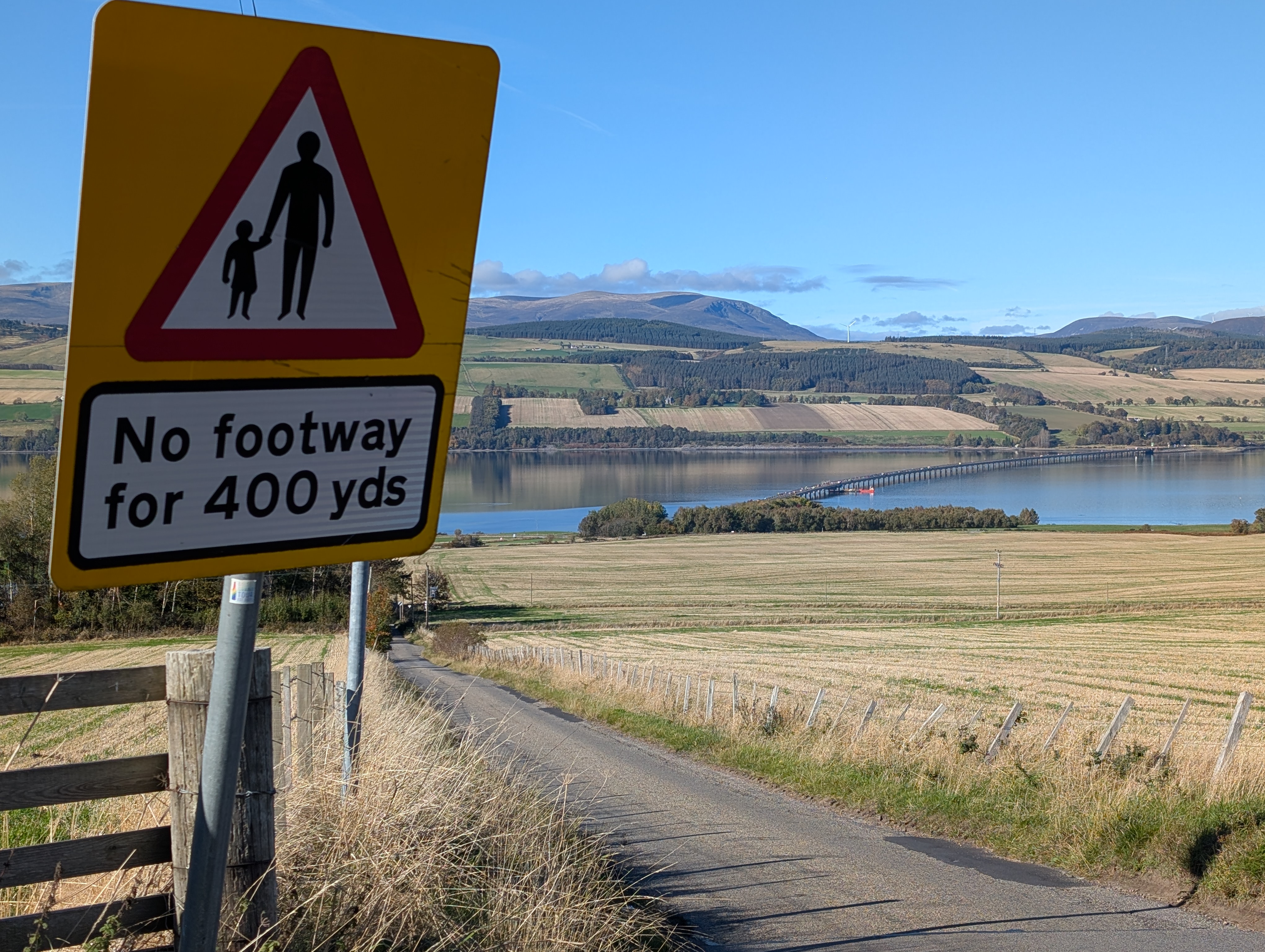
No more busy roads, as I join the John o’Groats Trail (JOGT) in the morning, walking over Kessock Bridge and into the woodlands towards Munlochy, or so I thought, as I take a wrong turn and add an extra mile or so to the day! No bother. The weather is great and the roads empty of traffic. I takes a while to reach the Cromarty Bridge and further roads to Alness for the night, before a repeat day on endless roads to Tain. I counted 30 cars in 12 miles, so it is safe enough, but I welcome the crossing of the Dornoch Firth and the woodland walk into the Royal Burgh. I camp at the site, knowing the days ahead will be very different.

I have approximately 100 tough miles now to John o’Groats.
